Electoral college maps to track the 2020 election
I was in third grade in 1980 when Jimmy Carter (from my then-state of Georgia) was running against Ronald Reagan.
Third grade was when we did Georgia history and all things Georgia, which that year included the presidential election. And probably way earlier than most kids ever get – an education in the electoral college.
My teacher sent each of us home with our own map of the United States so we could watch the returns that night and color in the states to reflect the winner. (This probably worked out OK for us in that we really only needed to stay up long enough to color Georgia. There is no way I was up late enough to get any of the west coast states, especially since things moved much slower in the days before 24-hour news.)
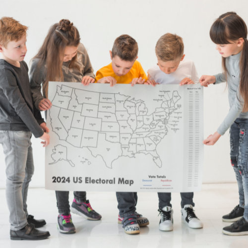
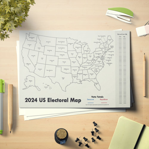
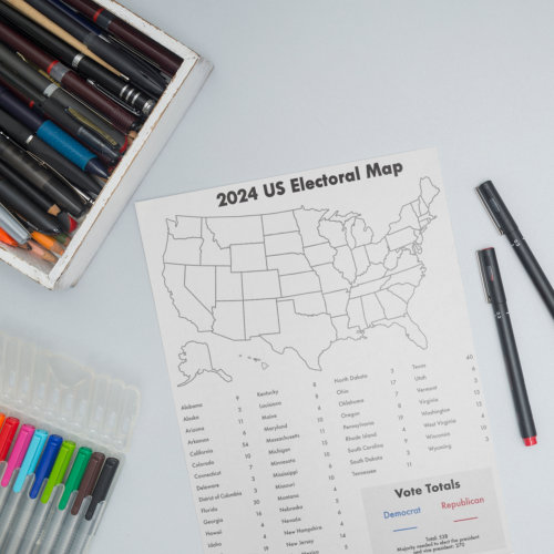
I’ve had the idea of recreating the map, both for budding politicos like my niece as well as classroom use. I have the states listed with their current electoral college counts (they’ll change by 2024 with the census) and a place for tracking and totaling. I listed democrats as blue and republicans with red just for standardization. Should there ever be a state that actually was claimed by one of the minor parties, you’re on your own to pick a color. 🙂
I have three different set-ups of the map, again mostly with classrooms in mind. But if your kids aren’t going back to the classroom this fall, the poster option might work well for you at home as well. You can choose from small to really big sizes on the poster.
There are also two paper pads – again thinking in terms of a sheet for each kid in a class – one with 25 larger 12″x18″ pages and the other with 40 letter size sheets.


